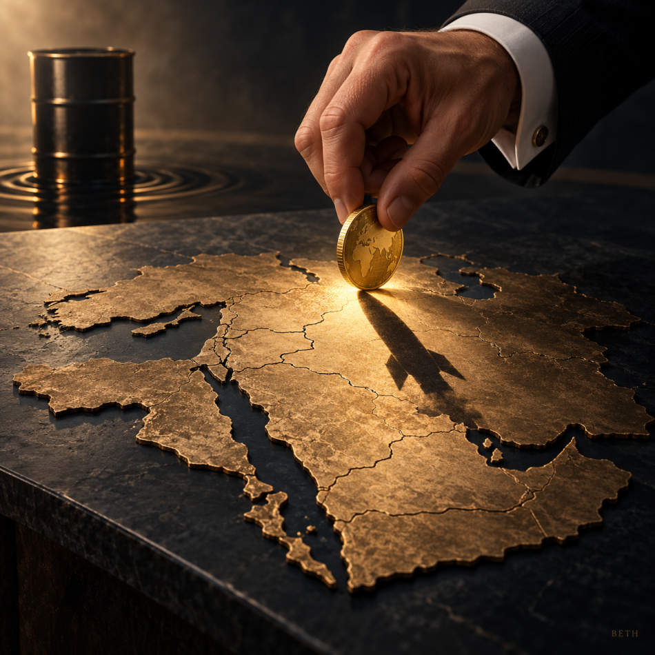



War Pollutes the Gulf
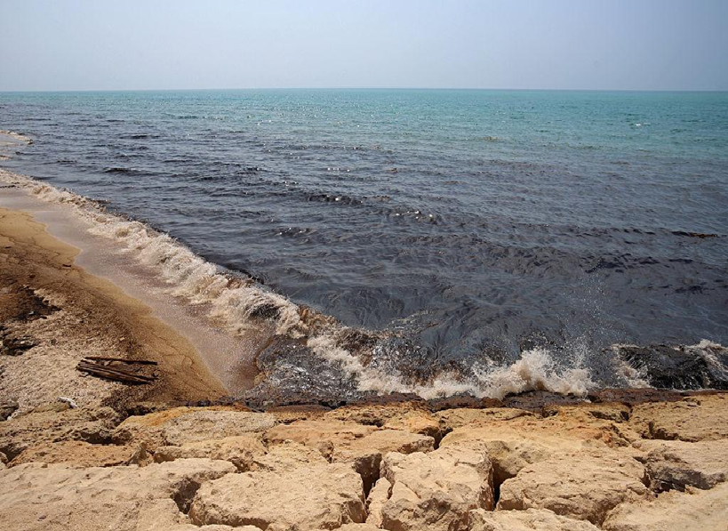
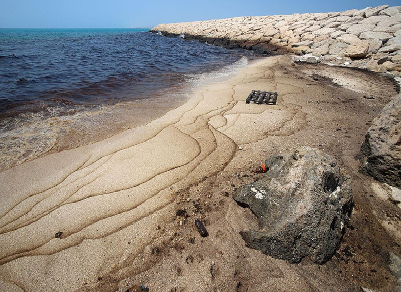
Two oil slicks emerge in Iranian waters, while a massive spill from a grounded tanker reaches Oman’s shores—the maritime conflict opens an environmental front threatening protected areas, rare wildlife, and the livelihoods of coastal communities
Prepared and analyzed by | Strategic Media Department – BETH Agency
The consequences of the confrontation in the Gulf are no longer measured solely by the number of stranded vessels or oil prices.
Satellite images are now revealing another face of the crisis: oil slicks spreading across the water, pollution reaching shorelines, and containment operations confronting severe weather, war, and complex questions of ownership and insurance.
Two new slicks have been detected inside the Gulf—one near Iran’s Qeshm Island and the other near Sirri Island—while a major leak continues from a grounded tanker off Oman.
The three incidents do not share the same cause. However, their convergence is placing parts of the Gulf and the Sea of Oman under severe environmental pressure, while military tensions hinder access to damaged vessels and delay rescue operations.
Monitoring
The Tanker off Oman
The oil tanker Caroline Bezengi ran aground on June 30 near Al Qibliyah Island in the Al Hallaniyat archipelago, a marine protected area distinguished by highly sensitive biodiversity.
The tanker was carrying approximately 800,000 barrels of Russian oil and is believed to belong to the so-called “shadow fleet” used to transport oil subject to sanctions.
Satellite images show that the polluted area has expanded rapidly. Estimates grew from approximately 45 square kilometers in late July to hundreds of square kilometers during August, while some of the latest assessments place the affected area at approximately 2,000 square kilometers.
The differing figures do not necessarily represent a contradiction. They reflect different image dates, shifting winds and currents, and varying methods of measuring the dense slick and the thinner layer of oil spreading around it.
Oman’s Environment Authority confirmed that the oil had reached the beaches of Ras Madrakah, affecting approximately 40 kilometers of coastline, amid concerns that it could spread toward Masirah Island.
The Qeshm Slick
Images captured on August 10 revealed an oil slick near Iran’s Qeshm Island, believed to be linked to heavy-fuel leakage from the cargo vessel Minoan Pioneer, which was attacked on August 3.
The pollution reached parts of the island’s coastline, while attempts to reach and secure the vessel were delayed by permit procedures and security conditions.
If the spill is confirmed to have resulted from the attack, the pollution would constitute a direct environmental consequence of the maritime conflict, rather than a separate shipping incident.
The Sirri Slick
Another slick was detected near Sirri Island on August 13, approximately 100 kilometers southwest of Qeshm and close to Iranian offshore oil and gas production facilities.
Its source has not yet been conclusively identified. It should therefore not be linked to the war or to any particular facility until the technical investigation is completed.
The Danger Beneath the Surface
The visible slick on the sea’s surface does not represent the full extent of the pollution.
Heavy oil changes over time under the effects of evaporation, waves, and heat. It may break into smaller masses, mix with sediment, or partially sink to the seabed, where detecting and removing it becomes considerably more difficult.
The spill off Oman threatens an area that is home to:
- Arabian Sea humpback whales, one of the world’s rarest whale populations.
- Sea turtles that use the beaches as nesting grounds.
- Socotra cormorants and migratory birds.
- Coral reefs and seagrass meadows.
- Fisheries and the livelihoods of coastal communities.
The chemical residue of oil may remain in sediments for years, even after the black stains disappear from the sea’s surface and the shoreline.
Greenpeace has warned that the spill threatens a protected ecosystem and called for urgent international intervention to secure the tanker’s cargo and conduct an independent assessment of the environmental damage.
War Obstructs the Rescue
According to the available information, the Caroline Bezengi incident is not directly linked to the U.S.-Iran war. However, the surrounding military environment is making the response more difficult.
Severe seasonal weather is limiting access by salvage teams, while security tensions increase the risks facing specialized vessels. The tanker’s status also raises complex legal and financial questions.
The vessel is old, has lost the flag registration under which it operated, and is not covered in the conventional manner by an internationally recognized marine insurer. Classifying the damage as an “act of war” could also complicate access to some international compensation funds.
This reveals the greater danger: the slick may be identified, the vessel located, and the means of response available—yet the party responsible for paying the cost is absent.
What Is Happening Now?
A British maritime risk company has begun operations to contain the spill, while Omani authorities continue monitoring the slick’s movement and its impact on the coastline.
Surface containment alone, however, will not be sufficient as long as the tanker continues to hold a large volume of oil and the possibility remains that its structure could deteriorate or break apart.
Success will not be measured by the amount of oil collected from the shoreline, but by preventing the remaining cargo from escaping the vessel.
Response Measures
First: Stop the Source
The most urgent action is to stabilize the tanker, inspect its hull and storage tanks, and transfer the remaining oil to a secure vessel through an emergency ship-to-ship operation.
Every hour this step is delayed allows the sea to distribute the oil across a wider area.
Second: Contain the Slick
Floating barriers should be deployed around the source of the leak and along the routes leading toward shorelines and protected areas. Skimmers and specially equipped vessels can then be used to recover and collect the oil.
The effectiveness of these barriers, however, depends on wave height and current speed, as oil may pass over or beneath them in severe marine conditions.
Third: Protect Sensitive Areas
Priority must be given to turtle-nesting sites, coral reefs, seagrass meadows, bay entrances, and fishing grounds, instead of distributing equipment evenly along the entire coastline.
The goal is not to chase every slick, but to prevent oil from reaching places where environmental recovery would be particularly difficult.
Fourth: Clean Shorelines Carefully
The appropriate cleanup method varies according to the nature of the coastline.
Manual removal and absorbent materials may be suitable for some beaches, while heavy machinery or high-pressure washing could drive oil deeper into sediments and cause more damage than leaving it in place.
International guidelines emphasize that the chosen response method must balance the damage caused by the oil against the potential damage from the cleanup operation itself.
Fifth: Restrict the Use of Dispersants
Chemical dispersants should not be used automatically. They do not remove oil but break it into smaller droplets within the water column.
They may be useful under specific conditions, but they can also transfer the threat from the surface to fish, coral reefs, and other marine organisms. Their use near protected areas must therefore be preceded by a careful environmental assessment.
Sixth: Rescue Marine Wildlife
The region needs specialized teams to collect, clean, and treat affected birds, turtles, and other wildlife.
Public access to certain sites should also be restricted to prevent exposure to toxic substances and avoid obstructing rescue operations.
Seventh: Establish Unified Regional Command
Oil movement does not recognize political borders.
The crisis therefore requires a joint environmental operations center bringing together Oman, Gulf states, and Iran, with support from the International Maritime Organization and relevant regional centers.
The International Convention on Oil Pollution Preparedness, Response and Co-operation calls for maintaining stockpiles of response equipment, developing detailed contingency plans, conducting exercises, and facilitating cooperation between countries during major incidents.
Who Pays the Price?
The issue will not end when the sea has been cleaned.
The incident raises questions about the responsibility of the tanker’s owner, operator, insurer, former flag state, and the party responsible for the initial damage, in addition to compensation for fishers and coastal communities and the cost of rehabilitating protected areas.
When vessels are connected to opaque ownership networks, sanctions, and unrecognized insurance arrangements, the affected state may ultimately bear the cost, while the true owner remains concealed behind companies registered in several countries.
The case thus moves beyond an environmental accident to expose a failure in the international maritime system—one that allows aging vessels carrying hundreds of thousands of barrels of oil to sail without clearly defined financial accountability.
Beyond the Slick
The war has focused on who controls the Strait of Hormuz, who permits vessels to pass, and who has the authority to impose conditions.
But the leaking oil presents another question:
Who protects the sea itself from ships, wars, and blockades?
The strikes may stop, the memorandum may be extended, and some tankers may return to the waterway. But cleaning the coastline and restoring life to protected areas could take years.
War does not merely close the sea to ships. It may leave it open after the conflict ends—but with less life than it held before.